Rock RiverVermont

Newfane · Windham County · Southern Vermont

Land & River

Rock River Land & River
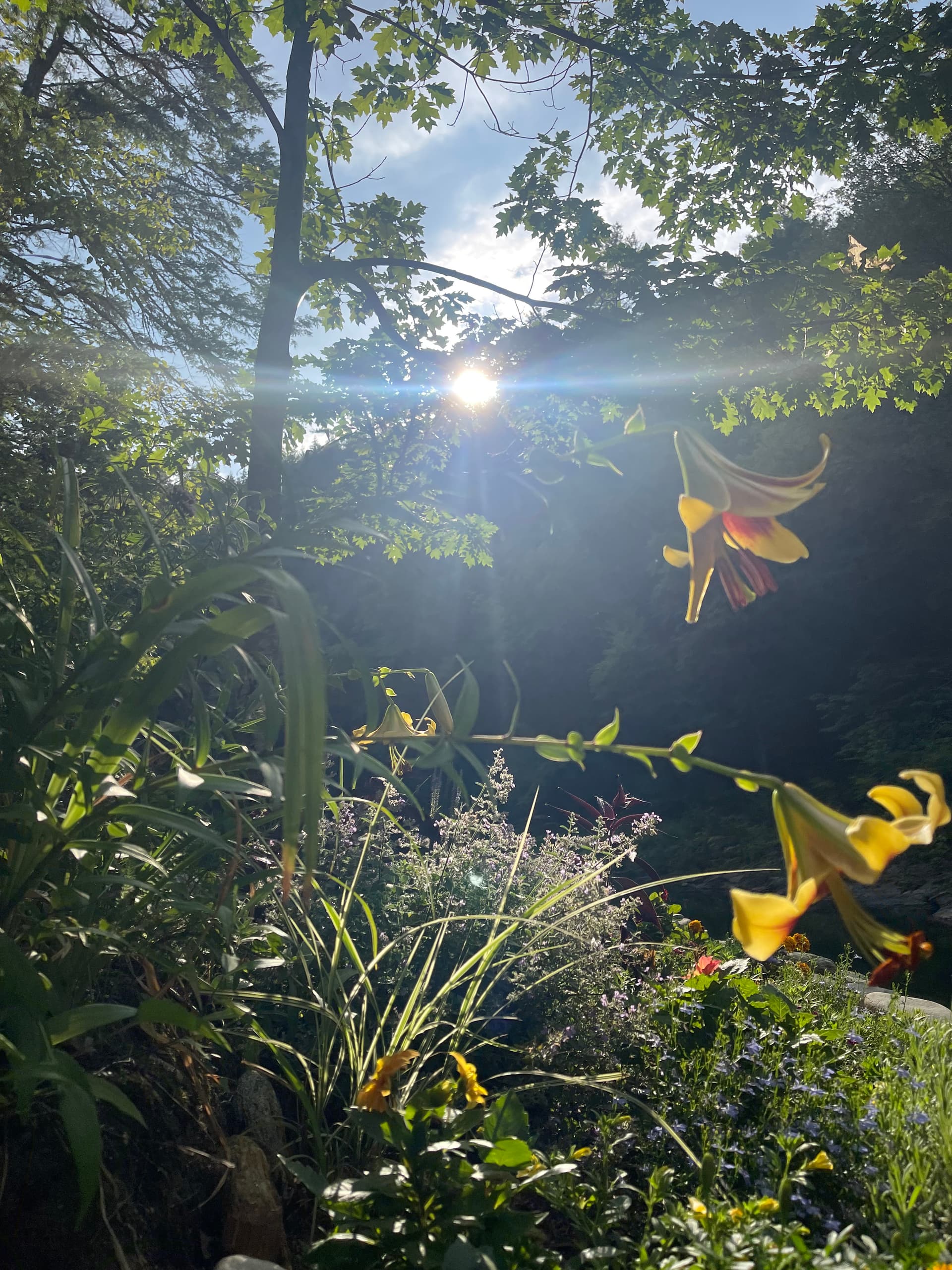
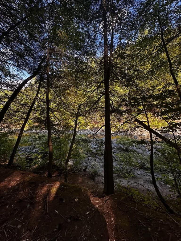
The Land and The River are one story here: a beautiful tributary, lower-reach trails, publicly accessible conserved land, swimming holes, rocky ledges, sandy banks, and visitor behavior that affects future access.

Plain language

The land and the river, in plain language

Rock River is part of the West River and Connecticut River watershed in southern Vermont. The stream rises in the Green Mountain National Forest in Dover, runs through Windham County, and joins the West River in Newfane before that water reaches the Connecticut River.

When visitors say “Rock River,” they usually mean the lower reaches: wilderness trails, swimming holes, rocky shore, sandy banks, and the access points people reach from the Route 30 / Depot Road corridor.

Lower reach

Lower reach: trails, ledges, pools, and banks

The lower reach is why this place is searched so often. Trails lead from public parking toward clear pools, ledges, sun-warmed rocks, shaded banks, and small beach areas. Conditions change fast: spring runoff, summer storms, and heavy weekends all affect water, trail mud, erosion, and how crowded the shore feels.

Use the map for orientation, Visitors Guide for parking and trail access, and Conditions for day-of flow, weather, mud, and safety notes.

Public access

Public access and preserved land

Rock River Preservation, Inc. protects key recreation areas along Rock River for public access, conservation, and respectful river use. The nonprofit’s work includes land protection, volunteers, stewards, conservation easements, management plans, and coordination with partners including the Vermont Land Trust.

The land story includes a roughly 4.5-acre riverfront purchase, later acquisition of about 21 acres, about 1.2 miles of frontage, deed restrictions, easement terms, and updated management planning. Those details matter because public access only works when the land can sustain it.

Named areas

Named areas people ask about

Informal names like Indian Love Call, Third Beach, and Fifth Beach help longtime visitors talk about the corridor, but they are not an invitation to treat the place like a spectacle. Use names with care, follow posted rules, and keep privacy first.

  • Indian Love Call is often described as the family-oriented area reached first from town-path access.
  • Third Beach is a middle reach visitors name often; treat it with strong privacy and posted-rule norms.
  • Fifth Beach is a sandy bank farther along, known in local memory as a gathering spot for gay, bi, queer visitors and friends.

Why it matters

Why preservation matters for visitors

Preserving the river experience for future generations is practical, not abstract. Parking stress, erosion, litter, storms, invasive plants, worn banks, and unclear behavior all reduce access. Volunteers and stewards help, but visitors decide whether a busy weekend leaves the place better or worse.

Read Rock River Preservation and public access for the nonprofit layer, and Visitor Guidelines for shoreline etiquette, posted rules, and respectful use.

Common questions

Land & River FAQ

What is Rock River?
Rock River is a beautiful tributary of the West River in southern Vermont. It lies in Windham County and is part of the West River and Connecticut River watershed.
Is Rock River part of the Connecticut River watershed?
Yes. Rock River flows to the West River, and the West River flows to the Connecticut River. Thinking watershed-wide helps explain fast spring runoff, cold water, and changing lower-reach conditions.
What does Land & River mean?
Land & River describes the relationship between conserved land, public access, wilderness trails, swimming holes, rocky ledges, sandy banks, and the river culture visitors experience on the lower reach.
What land is publicly accessible?
Publicly accessible recreation areas include conserved Rock River Preservation land and trail access areas, subject to posted rules, stewardship, conservation easements, and management plans.
Who owns or protects Rock River land?
Rock River Preservation, Inc. protects key parcels with support from conservation partners including the Vermont Land Trust. The nonprofit stewards public access, conservation easements, and management plans.
What are Indian Love Call, Third Beach, and Fifth Beach?
They are informal names visitors use for familiar lower-reach areas: a family-oriented stretch, a middle reach with posted shoreline norms, and a sandy bank farther along. Use the names respectfully and protect visitor privacy.
Do different beaches have different norms?
Yes—stretches along the lower reach can feel different from one another. Follow posted rules, keep cameras away from strangers, give people space, and read the visitor guidelines.
How should visitors protect the land?
Park legally, stay on durable trails, carry out trash, avoid erosion, respect stewards, follow posted rules, and leave enough space for neighbors, queer visitors, families, and future generations.