Stewardship & protection
Rock River Preservation Inc. and Public Access
Rock River Preservation, Inc. is a 2005 volunteer nonprofit trying to keep legal public access to the lower river from eroding as the valley builds out. The land under easement is a working set of trail rules, not a theme park.
Official nonprofit, policies, and contact live at rockriverpreservation.org. RockRiverVT is a separate, volunteer field guide.
Newsletter
Preservation News — Spring 2026
Rock River Preservation sends an occasional newsletter to supporters. Their Spring 2026 update is reproduced below so visitors can read the season’s news. For the official version and to donate, visit rockriverpreservation.org.

Hello from Vermont,
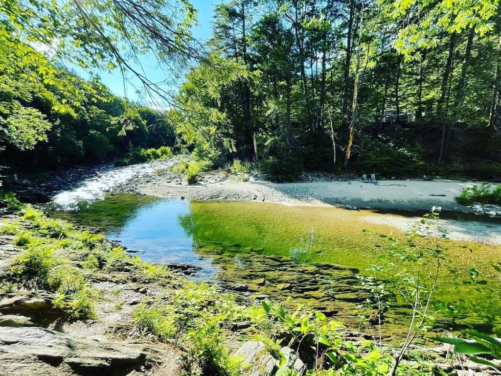
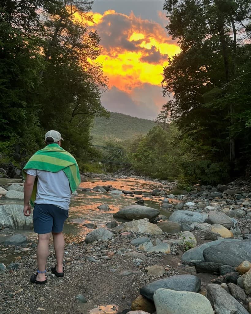
Folks have been venturing up the trail to the 5th beach on warm days and report no major changes to the trail or beaches. Please continue to use caution when crossing the river, since the water remains very cold.
The board of Rock River Preservation (RRP) has met bi-monthly over the winter. We have secured new insurance which will cover liability for volunteers, and we worked with the Vermont Land Trust’s Newfane representative on stewardship of the conserved land.
In addition to insurance, we have made our yearly donations to three of the local fire and rescue departments. Expenses paid to date in 2026 have been $3,032. If you would like to contribute to the support of Rock River Preservation, you can make a donation through their website.
Welcome to the neighborhood to the new Frog Meadow Bed and Breakfast owner David and his team, Jeremiah and Zac. Thank you to former owners Scott and Dave for their decades as Sustainers of Rock River Preservation; their support has always been generous and appreciated.
Also do check out Willow Vermont in South Newfane for guest stays and retreats. Tom and Ravi are building a new sauna and greenhouse — go check it out!
We currently have 32 Sustainers who have pledged $100 annually for five years. If you would like to become a Sustainer, simply make a note with your donation or send an email stating such.
Here’s to another season of brotherhood, respect, natural beauty, and fun at Rock River.
Scott, President
Rock River Preservation
Rock River Notes
Stay in the loop
In-season updates live on conditions and Rock River Today. For official stewardship mail, see Rock River Preservation.