- Parking
- Use marked Route 30 pull-offs near Depot Road. If legal parking is full, choose another plan.
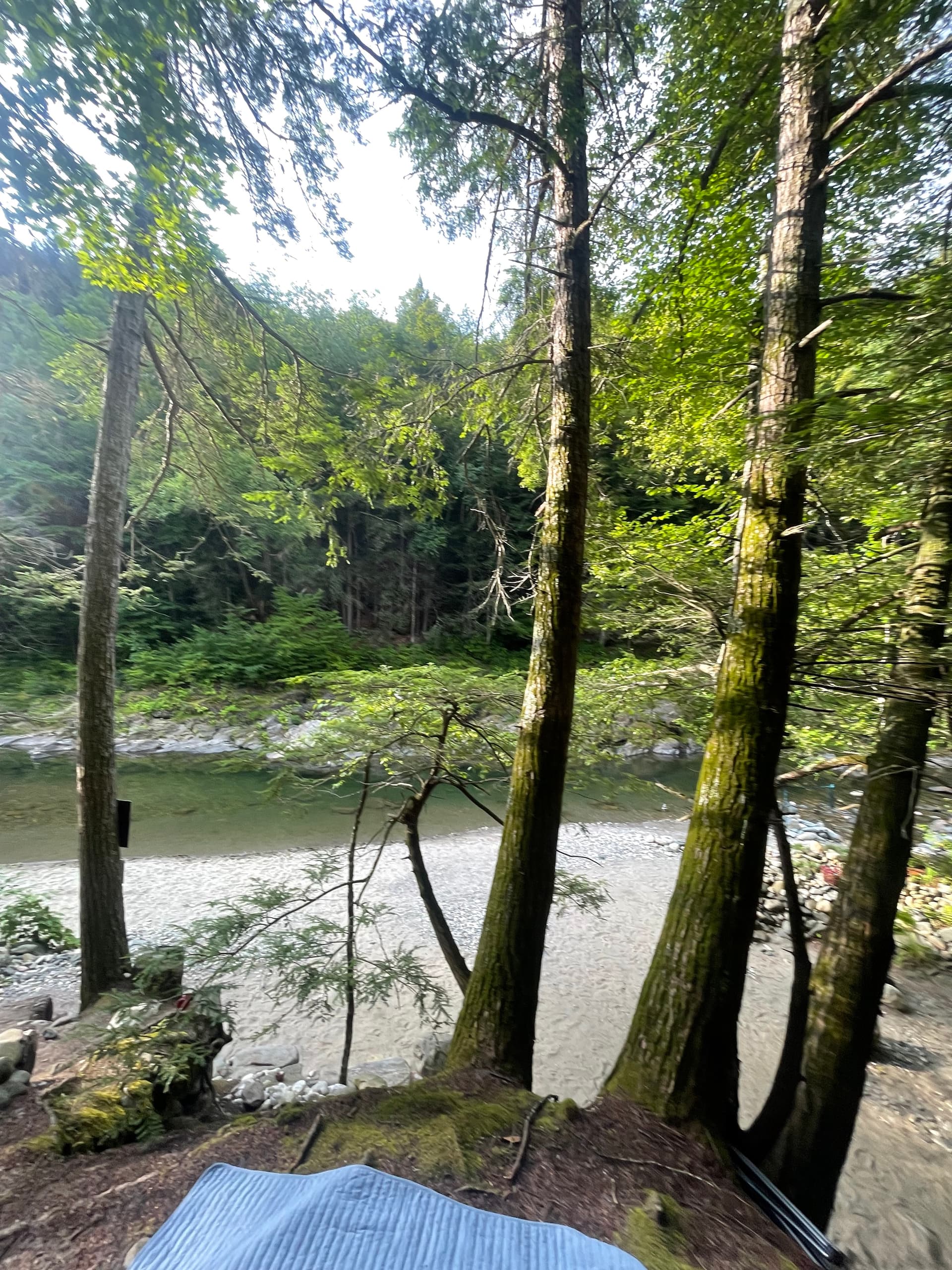
- Trail
- Expect uneven rock, roots, mud after rain, and slick ledges. Wear shoes with grip.
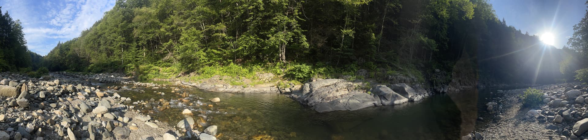
- Water
- No website clears a river for swimming. Read flow, clarity, weather, and your own exit route.
- Facilities
- No restrooms, showers, trash cans, vendors, or on-site services at the river.
- Cell service
- Open the map and save directions before arriving. Signal can be weak in the corridor.
- Privacy
- Do not photograph strangers. Skip loud shoots and give people space on the bank.
- Dogs
- Please leave dogs at home. The corridor stays calmer for people and wildlife without pets.
- Pack out
- Carry out everything you carry in, including small trash.
- Lifeguards
- There are no lifeguards. You are responsible for your own read of the water.
- Best season
- Many visitors use warm months for swimming; conditions still change daily—check before you go.