In the field
Rock River Nature Notes
Slow down enough to see cobbles, shade, and who shares the corridor with you. These notes cover river stones, glacial shaping, plants, wildlife, seasonal changes, and low-impact ways to observe the corridor.
Underfoot
River stones and glacial shaping
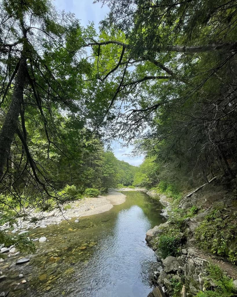
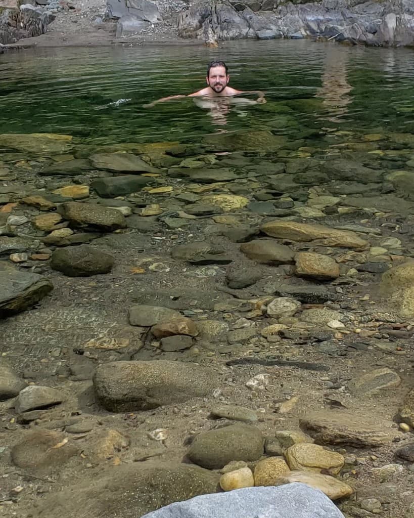
Rock River moves rock the way mountain streams do everywhere in northern New England: cobbles and gravel in the bed are smoothed by water and ice over long timescales. Vermont’s state geology program publishes regional maps and guides that describe bedrock and surficial materials across the state; those materials are useful background for understanding why river stones look the way they do—not for claiming a specific find at one bend.
Rounded stones in the channel usually mean long tumbling in water, sometimes with glacial history in the mix for New England valleys. Field identification of exact rock types takes practice and often a hand lens; this site does not substitute for a geologist’s verdict. Removing stones from the bed or banks can disturb habitat and is discouraged along public recreation corridors.
More on the watershed and ecology: Land & river.
Looking
What visitors notice in the stone
Visitors can enjoy pattern, color, and texture in place. Photographs from the bank or shallow water are a low-impact way to record what you notice. If you want names for what you see, carry a general northern Appalachians field guide or consult Vermont Geological Survey publications at home—not as permission to collect.
Along the bank
Plants and animals
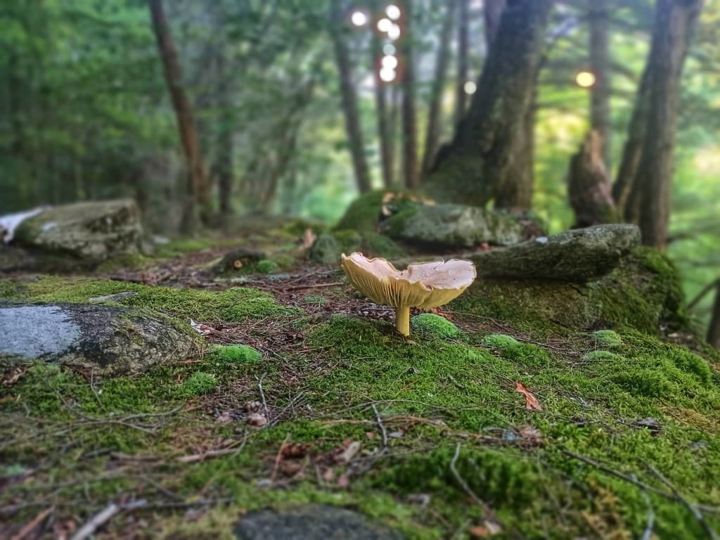
The Land & River page on this site describes banks and slopes supporting eastern hemlock, northern red oak, yellow birch, and underbrush including mountain laurel, wild azalea, and other wildflowers. It notes bear, bobcat, deer, foxes, and many birds, fish, and aquatic species as part of the corridor’s ecology, and references volunteer/partner documentation of native plants and invasive species to guide stewardship.
Wildlife encounters are unpredictable; behavior varies by season and time of day. Loud groups and pets displace animals and other visitors. This file does not list rare species or sensitive nesting locations—add only after review with stewardship partners and with a cited source suitable for public display.
Quiet observation from the trail, binoculars, and long lenses beat close approaches. Give nests, young animals, and feeding fish a wide berth. Please leave dogs at home so the corridor stays calm for wildlife and people.
Do not feed wildlife. Do not publish exact den or nest coordinates. Avoid claiming species presence on a specific date without a verifiable observation record suitable for public sharing.
The year
Seasonal changes
Rock River’s visitor experience shifts with northern New England weather: cold, high flows in spring; warm air and busy banks in summer; lower water and foliage change in fall; ice, short light, and limited use in winter. Exact conditions vary year to year; no calendar date replaces looking at the river.
Spring combines snowmelt and rain spikes—water stays cold and can run fast. Summer draws the most people; parking and sound carry farther. Fall brings leaves on wet rock and changing flow. Winter access is limited and hazard-prone; most casual swimming visits pause until spring.
Use live weather, flow context, and this site’s seasonal callouts together. Footwear and layers matter more than in town. Shorter daylight in late fall and winter affects how far it is reasonable to walk out and back.
Live tools when you’re planning: Conditions · Visit.
Do not promise swimmable temperatures on fixed dates. Avoid flood or ice predictions without National Weather Service or USGS context linked from official tools.
Leave it
Why not to remove rocks—or treat the bed like a souvenir shop
Pulling stone from the bed or banks can disturb habitat other visitors and wildlife rely on; along public recreation corridors here it’s discouraged—same idea as the knowledge base notes on leaving cobbles in place.
Photos from the bank or shallow water carry the pattern and color home without moving anything underfoot.
Do not imply that collecting, blasting, or commercial removal is acceptable here. Avoid naming specific gemstones, ore bodies, or fossil sites for this locality unless you have added a reviewed citation in sources below. Do not present hobby collecting as stewardship.
Read next
Public sources and further reading
Rock River Preservation
Nonprofit land stewardship and public access along Rock River.
Vermont Agency of Natural Resources
State conservation programs and public lands context for Vermont.
Vermont Geological Survey
Regional geology publications and maps—use for background, not on-site collecting advice.
USGS
National streamgage and map products; pair with this site’s live river widget for flow context.
On this guide