
Links
Rock River Links & Resources
Useful links for visitors: map, conditions, official Rock River Preservation, public access resources, nearby places, and local context after the river.

Common questions
Rock River links FAQ
- What is the official Rock River Preservation website?
- The official Rock River Preservation website is rockriverpreservation.org. RockRiverVT links to it for official nonprofit policies, contact, donations, and volunteer information.
- Where do I contribute to Rock River Preservation?
- Use the official Rock River Preservation website for contributions or contact the nonprofit directly. RockRiverVT is an independent visitor guide and does not process official donations.
- Where do I find Rock River visitor information?
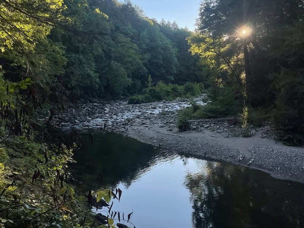
- Start with the RockRiverVT Visitors Guide for public parking, Route 30 and Depot Road orientation, trail access, posted rules, conditions, and respectful use.
- Where is the Rock River map?
- Use the RockRiverVT map page for parking pins, trail orientation, shoreline context, and the trail walk-through video.
- Where can I check Rock River conditions?
- Use the Conditions page for weather, river flow, water clarity, trail mud, crowd and parking signals, and day-of safety notes.
- Are there nearby accommodations?
- Nearby accommodations and local places change over time. This links page points visitors toward community context and official or local sources rather than pretending to be a complete directory.
- Is RockRiverVT official?
- No. RockRiverVT is a neighbor-maintained visitor guide. Official Rock River Preservation information lives with the nonprofit.