Nature notes
Rock River Geology
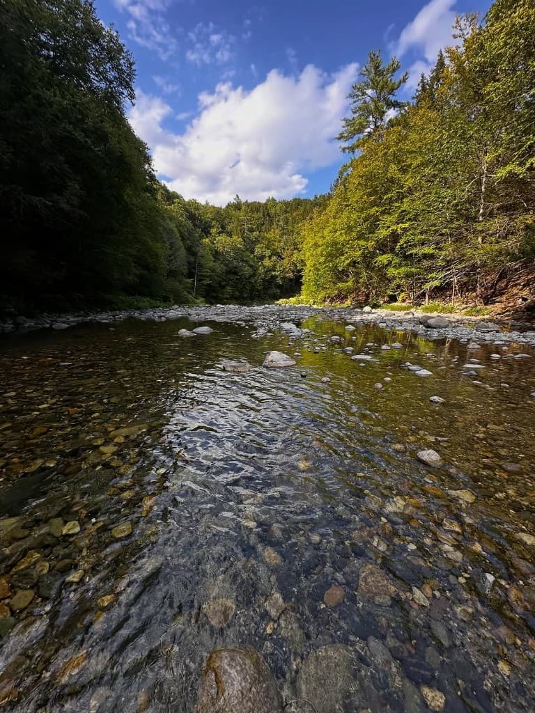
Rounded rock, old ice, and a brook that still moves stone when it floods. Look all you want; leave the bed as you found it.
Rounded stones
Why Rock River has cobbles and worn edges
Rock River moves rock the way mountain streams do everywhere in northern New England: cobbles and gravel in the bed are smoothed by water and ice over long timescales. Vermont’s state geology program publishes regional maps and guides that describe bedrock and surficial materials across the state; those materials are useful background for understanding why river stones look the way they do—not for claiming a specific find at one bend.
Rounded stones in the channel usually mean long tumbling in water, sometimes with glacial history in the mix for New England valleys. Field identification of exact rock types takes practice and often a hand lens; this site does not substitute for a geologist’s verdict. Removing stones from the bed or banks can disturb habitat and is discouraged along public recreation corridors.
Look closely
What visitors commonly notice
Visitors can enjoy pattern, color, and texture in place. Photographs from the bank or shallow water are a low-impact way to record what you notice. If you want names for what you see, carry a general northern Appalachians field guide or consult Vermont Geological Survey publications at home—not as permission to collect.
Care
Observe, photograph, and leave the bed alone
Do not collect stones, rearrange riverbed features, or build new stacks in the corridor. Photos carry the shape and color home without disturbing habitat.
Do not imply that collecting, blasting, or commercial removal is acceptable here. Avoid naming specific gemstones, ore bodies, or fossil sites for this locality unless you have added a reviewed citation in sources below. Do not present hobby collecting as stewardship.
Sources
Further reading
- Vermont Geological Survey (Agency of Natural Resources): regional geology publications and maps — verify current URLs on anr.vermont.gov.
- USGS: national map products and stream-related science — use for general literacy; this site’s live river tool documents which gage feeds local context in code.
- On-site visitor framing also lives in `content/sourced/source-registry.ts` (editor review notes).
Broader nature context: Nature Notes and Wildlife and Plants.