From town
Rock River near Brattleboro VT
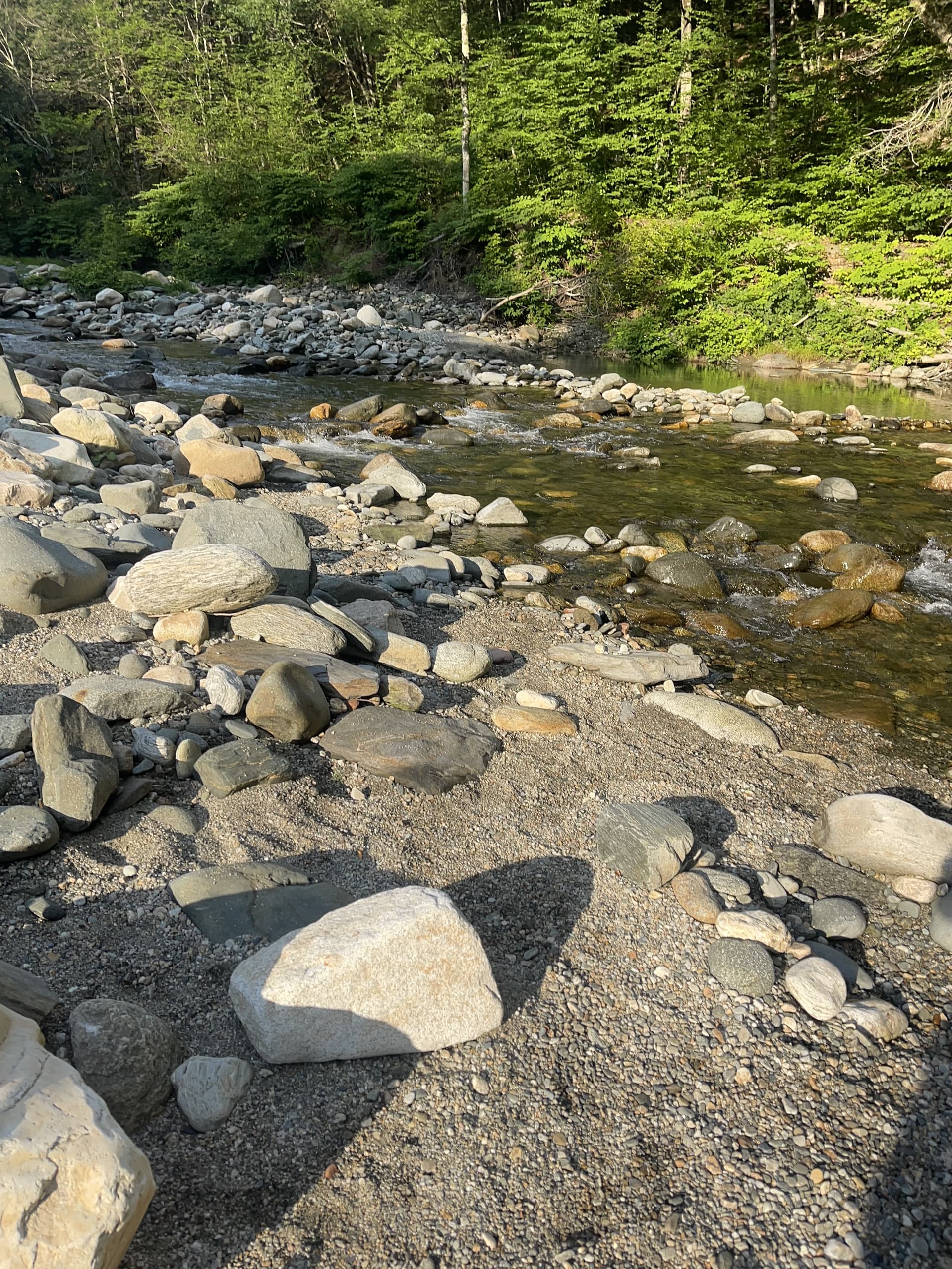
Many visitors search Rock River from Brattleboro because Route 30 is the practical approach. Before leaving town, open the map, live conditions, and marked Route 30 parking near Depot Road—download directions while you still have signal.
Know before you go
- Parking
- Use marked Route 30 pull-offs near Depot Road. If legal parking is full, choose another plan.
- Trail
- Expect uneven rock, roots, mud after rain, and slick ledges. Wear shoes with grip.
- Water
- No website clears a river for swimming. Read flow, clarity, weather, and your own exit route.
- Facilities
- No restrooms, showers, trash cans, vendors, or on-site services at the river.
- Cell service
- Open the map and save directions before arriving. Signal can be weak in the corridor.
- Privacy
- Do not photograph strangers. Skip loud shoots and give people space on the bank.
- Dogs
- Please leave dogs at home. The corridor stays calmer for people and wildlife without pets.
- Pack out
- Carry out everything you carry in, including small trash.
- Lifeguards
- There are no lifeguards. You are responsible for your own read of the water.
- Best season
- Many visitors use warm months for swimming; conditions still change daily—check before you go.
Common questions
Rock River near Brattleboro FAQ
- Is Rock River busy on summer weekends from Brattleboro?
- Yes—July weekends and holidays often fill Route 30 pull-offs by mid-morning. Leave Brattleboro early with a backup plan, open live conditions, and save the map offline before cell service fades.
- How far is Rock River from Brattleboro?
- Rock River sits in the Newfane and Dummerston area roughly 15 to 20 minutes north of Brattleboro by car, mostly along Route 30. There is no single 'Rock River, Brattleboro' address—you are heading for marked Route 30 pull-offs in the corridor.
- What is the best route from Brattleboro to Rock River?
- From Brattleboro, take Route 30 north toward the Newfane and Dummerston corridor. Save your map route before leaving, because town labels (Newfane, Dummerston, Williamsville) overlap and cell service can be weak near the river.
- Is there parking at Rock River near Brattleboro?
- Parking is limited to marked Route 30 pull-offs near the Depot Road area and fills on warm weekends. If legal spots are full, the river is busy—have a backup plan instead of parking illegally or blocking driveways.
- Are there bathrooms or food at Rock River?
- No. There are no restrooms, trash cans, or vendors at the river. Use facilities, fill water, and grab food, coffee, or gas in Brattleboro before you drive up, and plan after-river stops back in town.